quarta-feira, 4 de novembro de 2015

Ilha Deserta Madeira

Ilha Deserta Madeira 


As Ilhas Desertas são compostas por três ilhéus - o Ilhéu Chão, Deserta Grande e Bugio - todas elas de origem vulcânica.

Para visitar esta reserva natural de qualquer autorização. Este espaço foi assegurada em 1990 e tornou-se uma reserva natural cinco anos mais tarde.

As ilhas desabitadas são devido a suas condições inóspitas e falta de água doce.

Apesar de ter sido originalmente protegida para preservar os leões-marinhos, agora pretende-se não só pela sua proteção, mas também para a preservação da flora e fauna destas ilhas.
Estas ilhas são um dos últimos redutos dos leões-marinhos que vivem aqui cerca de 23 dessas criaturas, atualmente em recuperação populacional.

The Desert Islands are composed of three islets - the Ilhéu Chão, Deserta Grande and Bugio - all of which are of volcanic origin.

To visit this natural reserve require authorization. This space was secured in 1990 and became a nature reserve five years later.

The uninhabited islands are due to its inhospitable conditions and lack of fresh water.

Although it was originally protected to preserve the sea lions, now it is intended not only for their protection but also to preserving the flora and fauna of these islands.
These islands are one of the last strongholds of the sea lions living here about 23 of these creatures, currently in population recovery.


domingo, 11 de outubro de 2015

vereada do pico ruivo


Vereada do pico ruivo 


O Pico Ruivo é o ponto mais alto da  Madeira com 1862 m
Este e  um  percurso  popular
A rota e moderada  e inicia se no parque de estacionamento de  Achada do Teixeira ja a 1590 m, acessível por estrada a partir de Santana.
A partir do parque de estacionamento para a o cume são  2,8 km
O percurso e largo e  pavimentado com pedra.
Existem vários abrigos e um refugio com bar


The Pico Ruivo is the highest point of Madeira with 1862 m
This is a popular route
The route and moderate and starts in the parking lot of Achada do Teixeira to 1590 m, accessible by road from Santana.
From the parking lot to the summit are 2.8 km
The route, wide and paved with stone.
There are several shelter and refuge with bar


IMPORTANTE

Recomendações a considerar em caminhadas
Prestar atenção a dificuldade do percurso indicado. Alguns dos percursos apresentados como pequena rota (PR) como os de grande rota (GR) podem ter alguma dificuldade, ou grandes desníveis, terreno irregulares e rochoso, ou porque ainda inclui etapas perigosas ou difíceis.

Nunca faça percursos sozinho, mas sim de preferência em grupo. Antes de iniciar o percurso avise no seu local de alojamento, em abrigos ou familiares, o itinerário e a hora prevista da viagem. pode deixar, ainda, uma nota sobre o assunto no painel do seu carro, visível do exterior.

Leve roupas adequadas as condições atmosféricas e uma protecção da chuva, pode ser surpreendido a qualquer momento.
Use calcado para caminhadas ou  montanhismo (trekking/mountaineering)
No inverno, usando roupas adequadas para ambientes frios.

Leve agua necessária para as condições atmosféricas ja que no verão e no outono poderá falhar. Além disso, a água podera não ser tratada mesmo nas aldeias.
É conveniente levar pastilhas desinfectantes para o caso de falhar a agua que levou.

O nevoeiro e pior inimigo nas montanhas, onde o nevoeiro aparecer subitamente.
Mesmo que conheça a área é melhor procurar um abrigo/refúgio antes que perca a visibilidade.
Em caso de se perder, é melhor procurar um abrigo/refugio mais próximo e esperar por salvamento.
A cobertura telefónica móvel na montanha poderá ser limitada ou mesmo inexistente.


Ter em especial atenção no inverno:
Atenção as marcas de tinta,no inverno a neve pode esconder as marcas
A neve pode bloquear a passagem, especialmente em zonas altas
Com nevoeiro não faça o percurso
Leve agua necessária para as condições atmosféricas
Use calcado para caminhadas ou  montanhismo (trekking/mountaineering)


IMPORTANT

Recommendations to consider in hiking
Watch the difficulty of the indicated route. Some of the routes presented as short route (PR) as a major route of the (GR) may have some difficulty, or

large gaps, uneven and rocky terrain, or because even includes dangerous or difficult steps.

Never paths alone, but preferably in groups. Before starting the route advise at their place of accommodation, in shelters or family, the itinerary and time

planned the trip. You can leave also a note about it in your car's dashboard, visible from the outside.

Take appropriate clothing atmospheric conditions and a rain protection, may be surprised at any time.
Use trampled for hiking or mountain climbing (trekking / mountaineering)
In winter, wearing appropriate clothing for cold environments.

Take the water needed to atmospheric conditions already in the summer and fall may fail. In addition, the water can not be treated in the same villages.
It should take disinfectant tablets for the case of loss of water it took.

The fog and worst enemy in the mountains where the fog suddenly appear.
Even if you know the area is better to seek a shelter / refuge before you lose visibility.
In case you get lost, it is best to seek a shelter / nearest refuge and wait for rescue.
Mobile phone coverage on the mountain may be limited or even nonexistent.


Pay particular attention in winter:
Attention ink marks in the winter snow can hide marks
Snow can block the passage, especially in high areas
With fog did not make the route
Take the water needed to weather conditions

Use trampled for hiking or mountain climbing (trekking / mountaineering)

quarta-feira, 30 de setembro de 2015

fotos ponta de São Lourenço ilha da madeira

fotos ponta de São Lourenço ilha da madeira 


A Ponta de São Lourenço é a ponta mais a leste da Madeira e é uma reserve natural com vistas panorâmicas do Oceano Atlântico e de espectaculares formações rochosas; é uma paisagem única muito diferente do resto da ilha.
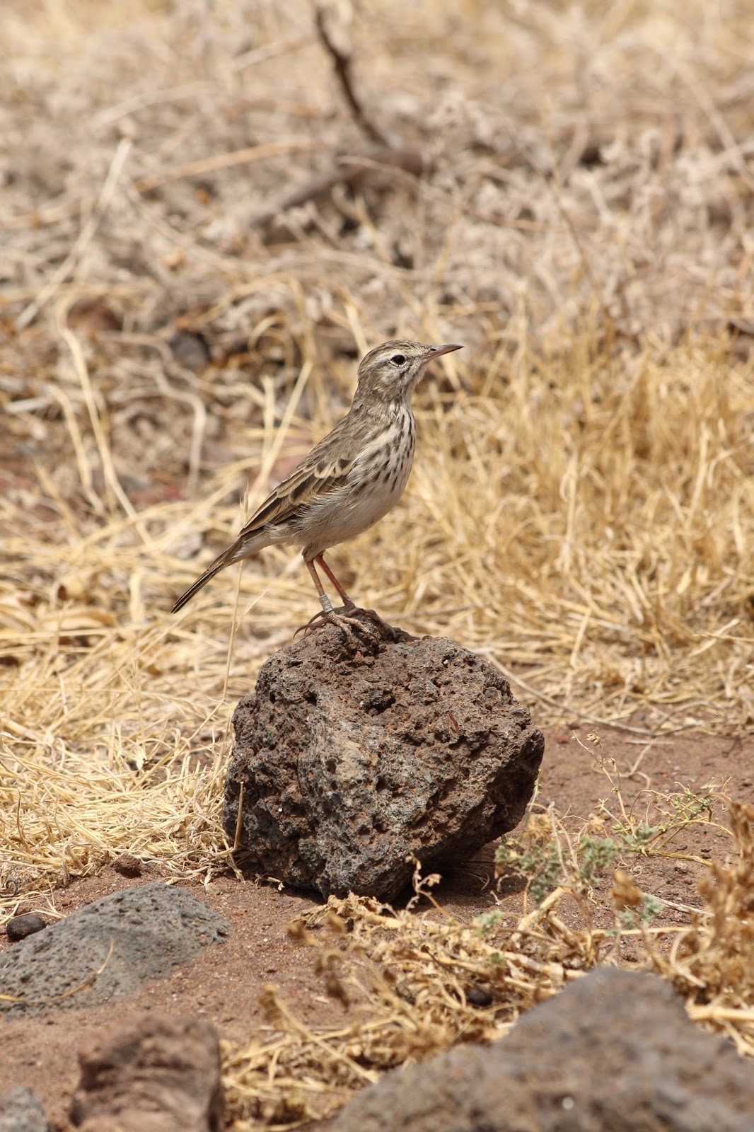
Se passear a pé poderá encontrar uma variedade de plantas diferentes como a erva gelada (Mesembryanthemum crystallinum), o cardo (Cynara cardunculus), a maçacota (Bassia tomentosa), a perpétua de São Lourenço (Helichrysum devium), o murrião (Helichrysum obconicum) e muitas outras. Descendo a encosta encontrará uma praia isolada chamada Prainha, que é a única praia de areia preta natural da ilha. Muito procurada pelos locais é óptima para banhos de mar.


The Ponta de São Lourenço is the tip further east of Madeira and is a natural reserve with panoramic views of the Atlantic Ocean and spectacular rock formations seen; It is a unique landscape very different from the rest of the island.
If walking you can find a variety of different plants as the icy grass (Mesembryanthemum crystallinum), thistle (Cynara cardunculus), the maçacota (Bassia tomentosa), the life of St. Lawrence (Helichrysum Devium), the murrião (Helichrysum obconicum) and many others. Down the hillside find a secluded beach called Prainha, which is the only natural beach of black sand of the island. Highly sought after by local is great for bathing.


ficha técnica
Percurso: Ponta de Sao Laurenco
Local: Madeira 
Partida/Chegada: 
Âmbito: Cultural, Paisagístico
Tipo de percurso: Pequena rota, circular
Sinalização: 
Pontos de agua:
Distancia percorrida: 8 km
Duração do percurso: 3/4 H
Grau de dificuldade: media/alta
Exposição Solar: extrema 
Pontos de Interesse:


IMPORTANTE

Recomendações a considerar em caminhadas 
Prestar atenção a dificuldade do percurso indicado. Alguns dos percursos apresentados como pequena rota (PR) como os de grande rota (GR) podem ter alguma dificuldade, ou grandes desníveis, terreno irregulares e rochoso, ou porque ainda inclui etapas perigosas ou difíceis.

Nunca faça percursos sozinho, mas sim de preferência em grupo. Antes de iniciar o percurso avise no seu local de alojamento, em abrigos ou familiares, o itinerário e a hora prevista da viagem. pode deixar, ainda, uma nota sobre o assunto no painel do seu carro, visível do exterior.

Leve roupas adequadas as condições atmosféricas e uma protecção da chuva, pode ser surpreendido a qualquer momento.
Use calcado para caminhadas ou  montanhismo (trekking/mountaineering)  
No inverno, usando roupas adequadas para ambientes frios.

Leve agua necessária para as condições atmosféricas ja que no verão e no outono poderá falhar. Além disso, a água podera não ser tratada mesmo nas aldeias.
É conveniente levar pastilhas desinfectantes para o caso de falhar a agua que levou.

O nevoeiro e pior inimigo nas montanhas, onde o nevoeiro aparecer subitamente. 
Mesmo que conheça a área é melhor procurar um abrigo/refúgio antes que perca a visibilidade. 
Em caso de se perder, é melhor procurar um abrigo/refugio mais próximo e esperar por salvamento.
A cobertura telefónica móvel na montanha poderá ser limitada ou mesmo inexistente. 


**************************************************************************************

Ter em especial atenção no inverno: 
Atenção as marcas de tinta,no inverno a neve pode esconder as marcas 
A neve pode bloquear a passagem, especialmente em zonas altas
Com nevoeiro não faça o percurso 
Leve agua necessária para as condições atmosféricas 
Use calcado para caminhadas ou  montanhismo (trekking/mountaineering)

IMPORTANT

Recommendations to consider in hiking
Watch the difficulty of the indicated route. Some of the routes presented as short route (PR) as a major route of the (GR) may have some difficulty, or large gaps, uneven and rocky terrain, or because even includes dangerous or difficult steps.

Never paths alone, but preferably in groups. Before starting the route advise at their place of accommodation, in shelters or family, the route and the estimated time of the trip. You can leave also a note about it in your car's dashboard, visible from the outside.

Take appropriate clothing atmospheric conditions and a rain protection, may be surprised at any time.
Use trampled for hiking or mountain climbing (trekking / mountaineering)
In winter, wearing appropriate clothing for cold environments.

Take the water needed to atmospheric conditions already in the summer and fall may fail. In addition, the water can not be treated in the same villages.
It should take disinfectant tablets for the case of loss of water it took.

The fog and worst enemy in the mountains where the fog suddenly appear.
Even if you know the area is better to seek a shelter / refuge before you lose visibility.
In case you get lost, it is best to seek a shelter / nearest refuge and wait for rescue.
Mobile phone coverage on the mountain may be limited or even nonexistent.


************************************************** ************************************

Pay particular attention in winter:
Attention ink marks in the winter snow can hide marks
Snow can block the passage, especially in high areas
With fog did not make the route
Take the water needed to weather conditions
Use trampled for hiking or mountain climbing (trekking / mountaineering)